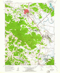
1954 Map of Novato
USGS Topo · Published 1961About this map
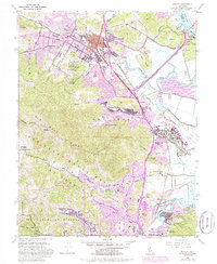
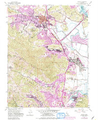
Novato and its surrounding valleys are captured here during a period of significant mid-century transition. The downtown core, centered on Grant Ave School and Marion Ave School, sits at the intersection of the Redwood Highway and the Northwestern Pacific Railroad, which served as the primary transport corridor through the Novato Valley. The presence of the large Hamilton Air Force Base along the shoreline of San Pablo Bay highlights the area's strategic importance during the early Cold War era.
Find a feature on this map
59 named features on this map. Tap any name to fly to it.
Don’t see what you’re looking for? This feature index may not catch every label — zoom into the map to look around manually.
Map Details
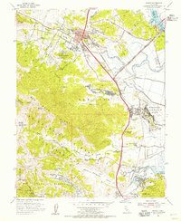
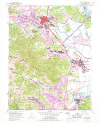
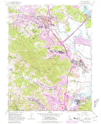
Editions of this 1954 Novato Map
6 editions found
Other maps of this area

1895 · San Francisco
USGS Topo · 1:62,500

1897 · Tamalpais
USGS Topo · 1:62,500

1899 · San Francisco
USGS Topo · 1:62,500

1902 · Napa
USGS Topo · 1:125,000

1914 · Petaluma
USGS Topo · 1:62,500

1915 · San Francisco
USGS Topo · 1:62,500

1916 · Mare Island
USGS Topo · 1:62,500

1941 · Tamalpais
USGS Topo · 1:62,500

1942 · Mare Island
USGS Topo · 1:62,500

1942 · Petaluma
USGS Topo · 1:62,500