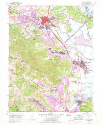
1954 Map of Novato
USGS Topo · Published 1969About this map
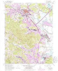
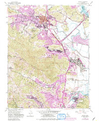
The Northwestern Pacific railroad tracks trace the eastern edge of the Marin hills, marking a corridor of rapid mid-century development. While the 1954 topography shows the established footprint of Novato and Hamilton Air Force Base, extensive purple revisions from 1968 document the suburban expansion of Novato Heights and Santa Venetia. This layer of growth is most evident near Rafael Village and the Meadow Park School, where residential blocks began to fill the valleys between Big Rock Ridge and the Petaluma River wetlands. The map identifies several specialized institutions of the era, including the Arequipa Sanatorium and the Marin County Hospital. In the south, the community of Sleepy Hollow is shown tucked into the hills of Canada De Herrera, representing the suburban transition that defined this portion of the San Francisco Bay Area during the post-war decades.
Find a feature on this map
54 named features on this map. Tap any name to fly to it.
Don’t see what you’re looking for? This feature index may not catch every label — zoom into the map to look around manually.
Map Details
Editions of this 1954 Novato Map
6 editions found
Other maps of this area

1895 · San Francisco
USGS Topo · 1:62,500

1897 · Tamalpais
USGS Topo · 1:62,500

1899 · San Francisco
USGS Topo · 1:62,500

1902 · Napa
USGS Topo · 1:125,000

1914 · Petaluma
USGS Topo · 1:62,500

1915 · San Francisco
USGS Topo · 1:62,500

1916 · Mare Island
USGS Topo · 1:62,500

1941 · Tamalpais
USGS Topo · 1:62,500

1942 · Mare Island
USGS Topo · 1:62,500

1942 · Petaluma
USGS Topo · 1:62,500