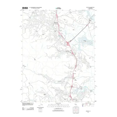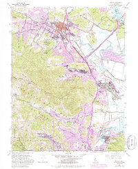
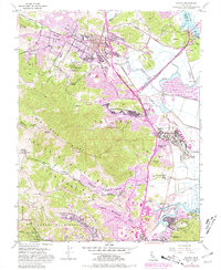
1954 Map of Novato
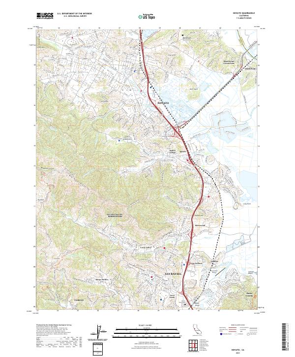
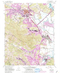
USGS Topo · Published 1985About this map
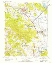
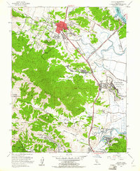
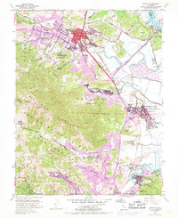
The Northwestern Pacific railroad corridor serves as the industrial spine for this mid-century look at Marin County, tracing a route through the marshlands of the Petaluma River and Novato Creek. While the established center of Novato shows its grid near the Marion Ave School, the surrounding hillsides and valleys remain defined by institutional sites and rural ranchlands. Large landholdings like the Big Rock Ranch sit in the westward canyons, while the southeastern landscape is marked by the St Vincent School and the Marin County Hospital.
Find a feature on this map
55 named features on this map. Tap any name to fly to it.
Don’t see what you’re looking for? This feature index may not catch every label — zoom into the map to look around manually.
Map Details
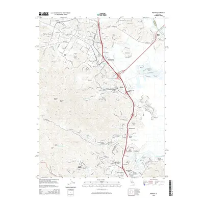
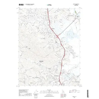
Editions of this 1954 Novato Map
6 editions found
Historical Maps of San Rafael Through Time
5 maps found