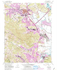
1954 Map of Novato
USGS Topo · Published 1985About this map
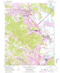
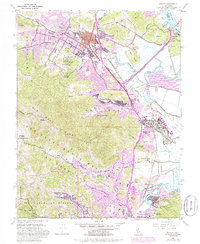
Novato serves as a central hub in this detailed survey, showing the mid-century expansion of residential areas like Novato Heights and Rafael Village alongside older agricultural and ranching landmarks. The landscape is defined by the significant corridor of the Northwestern Pacific railroad and the Redwood Highway, which facilitate movement between the marshy eastern edge along the Petaluma River and the high interior terrain of Big Rock Ridge.
Find a feature on this map
58 named features on this map. Tap any name to fly to it.
Don’t see what you’re looking for? This feature index may not catch every label — zoom into the map to look around manually.
Map Details
Editions of this 1954 Novato Map
6 editions found
Other maps of this area

1895 · San Francisco
USGS Topo · 1:62,500

1897 · Tamalpais
USGS Topo · 1:62,500

1899 · San Francisco
USGS Topo · 1:62,500

1902 · Napa
USGS Topo · 1:125,000

1914 · Petaluma
USGS Topo · 1:62,500

1915 · San Francisco
USGS Topo · 1:62,500

1916 · Mare Island
USGS Topo · 1:62,500

1941 · Tamalpais
USGS Topo · 1:62,500

1942 · Mare Island
USGS Topo · 1:62,500

1942 · Petaluma
USGS Topo · 1:62,500