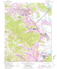
1954 Map of Novato
USGS Topo · Published 1981About this map
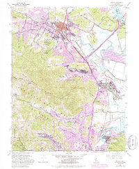
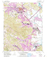
Novato and its surrounding valleys are captured here during a period of significant mid-century growth in Marin County. The landscape is defined by the Northwestern Pacific railroad corridor and the Redwood Highway, which together shaped the development of communities like Ignacio, Black Point, and Santa Venetia. Purple overlays on this map highlight the rapid suburban expansion into areas like Novato Heights and Rafael Village that occurred by the late 1970s.
Find a feature on this map
56 named features on this map. Tap any name to fly to it.
Don’t see what you’re looking for? This feature index may not catch every label — zoom into the map to look around manually.
Map Details
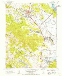
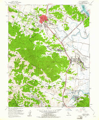
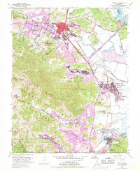
Editions of this 1954 Novato Map
6 editions found
Other maps of this area

1895 · San Francisco
USGS Topo · 1:62,500

1897 · Tamalpais
USGS Topo · 1:62,500

1899 · San Francisco
USGS Topo · 1:62,500

1902 · Napa
USGS Topo · 1:125,000

1914 · Petaluma
USGS Topo · 1:62,500

1915 · San Francisco
USGS Topo · 1:62,500

1916 · Mare Island
USGS Topo · 1:62,500

1941 · Tamalpais
USGS Topo · 1:62,500

1942 · Mare Island
USGS Topo · 1:62,500

1942 · Petaluma
USGS Topo · 1:62,500