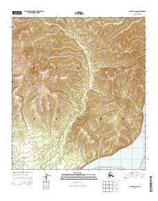
2014 Map of Nulato A-6 SW
USGS Topo · Published 2014About this map
The Yukon River dominates the southern edge of this landscape, its broad course cutting past the site of Old Kaltag. This area of the Alaskan interior is defined by the drainage of Poison Cr, which threads through the uplands before meeting the major waterway. The terrain is marked by distinctive elevations such as Spruce Tree Point and Dunce Cap Point, offering a detailed look at the land's contours just north of the Yukon's main channel.
Find a feature on this map
11 named features on this map. Tap any name to fly to it.
Don’t see what you’re looking for? This feature index may not catch every label — zoom into the map to look around manually.
Map Details
Editions of this 2014 Nulato A-6 SW Map
This is the sole edition of this map. No revisions or reprints were ever made.
Other maps of this area

1945 · Nulato
USGS Topo · 1:250,000

1948 · Norton Bay
USGS Topo · 1:250,000

1951 · Ophir
USGS Topo · 1:250,000

1951 · Nulato
USGS Topo · 1:250,000

1951 · Unalakleet
USGS Topo · 1:250,000

1951 · Norton Bay
USGS Topo · 1:250,000

1952 · Nulato
USGS Topo · 1:250,000

1952 · Nulato A-6
USGS Topo · 1:63,360

1952 · Unalakleet D-1
USGS Topo · 1:63,360

1952 · Unalakleet
USGS Topo · 1:250,000