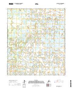
2017 Map of Nulato B-4 NW
USGS Topo · Published 2017About this map
The Khotol River meanders across this interior Alaska landscape, creating a complex network of wetlands and seasonal waterways in the Yukon-Koyukuk region. In this environment, the drainage patterns of Bonanza Creek and Wounded Cub Cr define the movement of water through the low-lying plains. The map illustrates a wilderness largely defined by its hydrography, where features like Kaiyuh Slough and Pike Trap Cr suggest the historical importance of these corridors for local navigation and subsistence. Localized drainages such as North Cr and Eddy Cr further reveal the intricate, shifting nature of the river valley's hydrology during the early 21st century.
Find a feature on this map
18 named features on this map. Tap any name to fly to it.
Don’t see what you’re looking for? This feature index may not catch every label — zoom into the map to look around manually.
Map Details
Editions of this 2017 Nulato B-4 NW Map
This is the sole edition of this map. No revisions or reprints were ever made.
Other maps of this area

1945 · Nulato
USGS Topo · 1:250,000

1951 · Nulato
USGS Topo · 1:250,000

1952 · Nulato C-4
USGS Topo · 1:63,360

1952 · Nulato B-5
USGS Topo · 1:63,360

1952 · Nulato B-4
USGS Topo · 1:63,360

1952 · Nulato C-5
USGS Topo · 1:63,360

1952 · Nulato
USGS Topo · 1:250,000
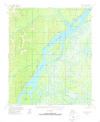
1953 · Nulato C-5
USGS Topo · 1:63,360
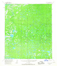
1953 · Nulato C-4
USGS Topo · 1:63,360
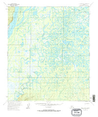
1953 · Nulato B-5
USGS Topo · 1:63,360