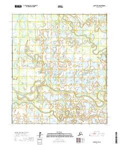
2017 Map of Nulato B-5 NE
USGS Topo · Published 2017About this map
The Khotol River meanders across this interior Alaskan landscape, defining a complex system of wetlands and waterways within the Yukon-Koyukuk region. In this environment of the 2010s, the hydrologic pattern is dominated by significant sloughs and lakes that serve as vital landmarks. Notable water bodies such as White Fish Lake and Skinny Fish Lake sit amidst a network of drainage including Kaiyuh Slough and Manslaughter Slough. The intricate connectivity between these features and smaller streams like Pike Trap Creek and Unfounded Cub Cr reflects the seasonal pulse of the subarctic wilderness. This 2017 survey provides a high-resolution look at the shifting channels of Herb Creek and Yukon Creek, offering an essential record for those studying the hydrography of the northern interior.
Find a feature on this map
18 named features on this map. Tap any name to fly to it.
Don’t see what you’re looking for? This feature index may not catch every label — zoom into the map to look around manually.
Map Details
Editions of this 2017 Nulato B-5 NE Map
This is the sole edition of this map. No revisions or reprints were ever made.
Other maps of this area

1945 · Nulato
USGS Topo · 1:250,000

1951 · Nulato
USGS Topo · 1:250,000

1952 · Nulato C-4
USGS Topo · 1:63,360

1952 · Nulato B-5
USGS Topo · 1:63,360

1952 · Nulato B-4
USGS Topo · 1:63,360

1952 · Nulato C-5
USGS Topo · 1:63,360

1952 · Nulato
USGS Topo · 1:250,000
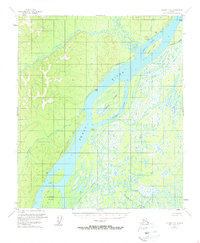
1953 · Nulato C-5
USGS Topo · 1:63,360
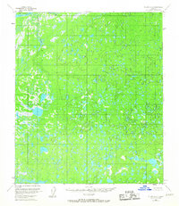
1953 · Nulato C-4
USGS Topo · 1:63,360
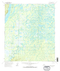
1953 · Nulato B-5
USGS Topo · 1:63,360