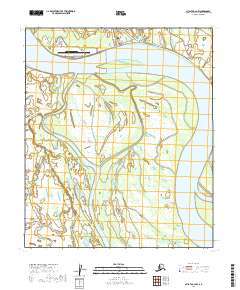
2019 Map of Nulato C-2 NW
USGS Topo · Published 2019About this map
Galena serves as a critical interior hub along the northern bank of the Yukon River, where the landscape is defined by the shifting hydrology of the Middle Yukon. The town is anchored by the Edward G Ptka Sr Airport, a facility that emphasizes the community's reliance on aerial transport in the absence of external road connections. The map reveals a complex network of local transit including Tiger Freeway, Old Campion Road, and Burbot Street, which navigate the immediate vicinity of the settlement and its airfield.
Find a feature on this map
31 named features on this map. Tap any name to fly to it.
Don’t see what you’re looking for? This feature index may not catch every label — zoom into the map to look around manually.
Map Details
Editions of this 2019 Nulato C-2 NW Map
This is the sole edition of this map. No revisions or reprints were ever made.
Other maps of this area

1945 · Nulato
USGS Topo · 1:250,000

1951 · Nulato
USGS Topo · 1:250,000

1952 · Nulato D-3
USGS Topo · 1:63,360

1952 · Nulato C-3
USGS Topo · 1:63,360

1952 · Nulato C-2
USGS Topo · 1:63,360

1952 · Nulato D-2
USGS Topo · 1:63,360

1952 · Nulato
USGS Topo · 1:250,000
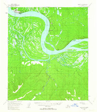
1953 · Nulato C-2
USGS Topo · 1:63,360
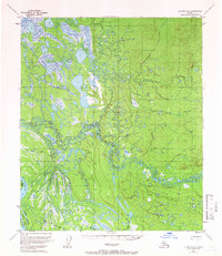
1954 · Nulato D-2
USGS Topo · 1:63,360
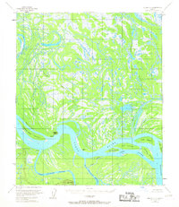
1954 · Nulato D-3
USGS Topo · 1:63,360