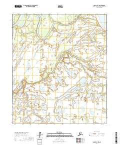
2017 Map of Nulato C-3 NE
USGS Topo · Published 2017About this map
Yukon River waters dominate the northeastern corner of this landscape, where the massive waterway begins to split into complex secondary channels like the Pilot Mountain Slough. This region of Alaska, documented by the U.S. Geological Survey in 2017, is defined by an intricate network of wetlands and seasonal drainages. The winding course of Bishop Creek and its smaller tributary Bishop Cr weave through the terrain, illustrating the dynamic hydrology of the Yukon-Koyukuk Census Area. These waterways form a complex puzzle of sloughs and interconnected ponds, characteristic of the interior Alaskan river systems where the land is constantly reshaped by seasonal flows. This map provides a detailed view of the natural drainage patterns and the specific alignment of the Pilot Mountain Slough before it rejoins the main river channel.
Find a feature on this map
10 named features on this map. Tap any name to fly to it.
Don’t see what you’re looking for? This feature index may not catch every label — zoom into the map to look around manually.
Map Details
Editions of this 2017 Nulato C-3 NE Map
This is the sole edition of this map. No revisions or reprints were ever made.
Other maps of this area

1945 · Nulato
USGS Topo · 1:250,000

1951 · Nulato
USGS Topo · 1:250,000

1952 · Nulato D-3
USGS Topo · 1:63,360

1952 · Nulato C-3
USGS Topo · 1:63,360

1952 · Nulato C-2
USGS Topo · 1:63,360

1952 · Nulato D-2
USGS Topo · 1:63,360

1952 · Nulato
USGS Topo · 1:250,000
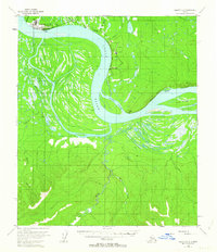
1953 · Nulato C-2
USGS Topo · 1:63,360
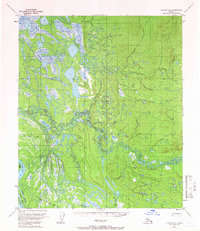
1954 · Nulato D-2
USGS Topo · 1:63,360
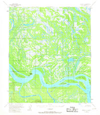
1954 · Nulato D-3
USGS Topo · 1:63,360