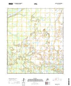
2017 Map of Nulato C-5 SE
USGS Topo · Published 2017About this map
Kaiyuh Slough and the winding course of Green Water Creek dominate this low-lying Interior Alaska landscape, characterized by an intricate network of waterways and wetlands. The terrain is largely defined by these hydraulic features, where Ninemile Slough cuts through the northern reaches and Wounded Cub Cr meanders in the south. A rare point of vertical relief is found at Birch Hill, a named landmark rising above the surrounding flats in the southwestern portion of the quadrangle. The map details the complex drainage patterns of the Yukon-Koyukuk Census Area, illustrating how seasonal waters and sloughs shape the accessibility and geography of this subarctic environment near the southern borders of the Nulato region.
Find a feature on this map
10 named features on this map. Tap any name to fly to it.
Don’t see what you’re looking for? This feature index may not catch every label — zoom into the map to look around manually.
Map Details
Editions of this 2017 Nulato C-5 SE Map
This is the sole edition of this map. No revisions or reprints were ever made.
Other maps of this area

1945 · Nulato
USGS Topo · 1:250,000

1951 · Nulato
USGS Topo · 1:250,000

1952 · Nulato C-4
USGS Topo · 1:63,360

1952 · Nulato B-5
USGS Topo · 1:63,360

1952 · Nulato B-4
USGS Topo · 1:63,360

1952 · Nulato C-5
USGS Topo · 1:63,360

1952 · Nulato
USGS Topo · 1:250,000
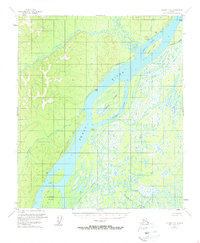
1953 · Nulato C-5
USGS Topo · 1:63,360
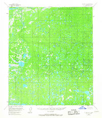
1953 · Nulato C-4
USGS Topo · 1:63,360
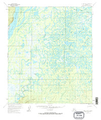
1953 · Nulato B-5
USGS Topo · 1:63,360