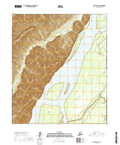
2017 Map of Nulato C-5 SW
USGS Topo · Published 2017About this map
Falcon Cliffs tower over the western bank of the Yukon River in this sparsely populated stretch of the Alaskan interior. The landscape is defined by the complex hydrography of the river valley, where the main channel is fed by the Ninemile River and flanked by seasonal waterways like Ninemile Slough and Kaiyuh Slough. These interconnected sloughs and islands, including Halfway Island and Wanda Island, illustrate a dynamic riparian environment where shifting currents and seasonal flooding continually reshape the shoreline. The elevation contours reveal the dramatic transition from the broad, flat wetlands of the eastern river plain to the steep, rising bluffs on the western side of the Yukon, a topographic boundary that has long dictated movement and land use in this part of the Yukon-Koyukuk region.
Find a feature on this map
11 named features on this map. Tap any name to fly to it.
Don’t see what you’re looking for? This feature index may not catch every label — zoom into the map to look around manually.
Map Details
Editions of this 2017 Nulato C-5 SW Map
This is the sole edition of this map. No revisions or reprints were ever made.
Other maps of this area

1945 · Nulato
USGS Topo · 1:250,000

1951 · Nulato
USGS Topo · 1:250,000

1952 · Nulato B-6
USGS Topo · 1:63,360

1952 · Nulato B-5
USGS Topo · 1:63,360

1952 · Nulato C-6
USGS Topo · 1:63,360

1952 · Nulato C-5
USGS Topo · 1:63,360

1952 · Nulato
USGS Topo · 1:250,000
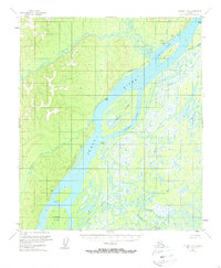
1953 · Nulato C-5
USGS Topo · 1:63,360
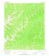
1953 · Nulato C-6
USGS Topo · 1:63,360
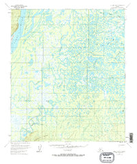
1953 · Nulato B-5
USGS Topo · 1:63,360