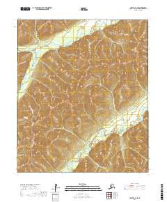
2017 Map of Nulato C-6 NE
USGS Topo · Published 2017About this map
Nulato River and its southern tributaries dominate this interior landscape within the Yukon-Koyukuk region. The drainage network is characterized by the winding path of the South Fork Nulato River, which carves through the undulating terrain alongside Kaltag Creek. This 2017 study illustrates the complex hydrography of the Alaskan wilderness, showing how these waterways serve as primary geographic markers across the township and range divisions. The absence of roads or permanent settlements in this specific quadrant highlights the isolation of the river valleys, where the natural flow of water remains the defining feature of the physical environment.
Find a feature on this map
9 named features on this map. Tap any name to fly to it.
Don’t see what you’re looking for? This feature index may not catch every label — zoom into the map to look around manually.
Map Details
Editions of this 2017 Nulato C-6 NE Map
This is the sole edition of this map. No revisions or reprints were ever made.
Other maps of this area

1945 · Nulato
USGS Topo · 1:250,000

1951 · Nulato
USGS Topo · 1:250,000

1952 · Nulato D-5
USGS Topo · 1:63,360

1952 · Nulato C-6
USGS Topo · 1:63,360

1952 · Nulato C-5
USGS Topo · 1:63,360

1952 · Nulato
USGS Topo · 1:250,000
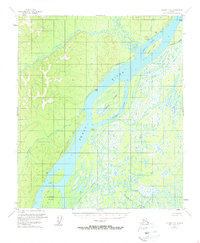
1953 · Nulato C-5
USGS Topo · 1:63,360
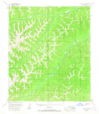
1953 · Nulato C-6
USGS Topo · 1:63,360
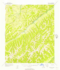
1955 · Nulato D-6
USGS Topo · 1:63,360

1964 · Nulato
USGS Topo · 1:250,000