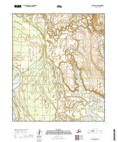
2019 Map of Nulato D-2 SW
USGS Topo · Published 2019About this map
Galena sits on the northern edge of a complex network of waterways and wetlands within the Yukon-Koyukuk region. The landscape is defined by the shifting course of the Yukon River, evidenced by features like Johnson Slough and the Serpentine Islands. These islands and nearby Lark Island illustrate the continuous morphological change inherent to this subarctic riparian environment.
Find a feature on this map
16 named features on this map. Tap any name to fly to it.
Don’t see what you’re looking for? This feature index may not catch every label — zoom into the map to look around manually.
Map Details
Editions of this 2019 Nulato D-2 SW Map
This is the sole edition of this map. No revisions or reprints were ever made.
Other maps of this area

1945 · Nulato
USGS Topo · 1:250,000

1951 · Nulato
USGS Topo · 1:250,000

1952 · Nulato D-3
USGS Topo · 1:63,360

1952 · Nulato C-3
USGS Topo · 1:63,360

1952 · Nulato C-2
USGS Topo · 1:63,360

1952 · Nulato D-2
USGS Topo · 1:63,360

1952 · Nulato
USGS Topo · 1:250,000
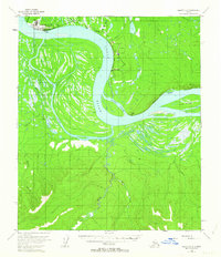
1953 · Nulato C-2
USGS Topo · 1:63,360
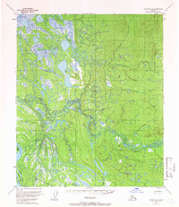
1954 · Nulato D-2
USGS Topo · 1:63,360
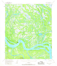
1954 · Nulato D-3
USGS Topo · 1:63,360