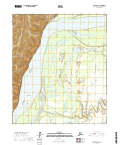
2017 Map of Nulato D-4 SW
USGS Topo · Published 2017About this map
The Yukon River dominates this landscape in the Yukon-Koyukuk region, carving a complex network of braids and side channels across the interior Alaska wilderness. Large landmasses formed by the shifting river include Megotsol Island, Gemodecon Island, and Big Island, illustrating the dynamic nature of this fluvial system. Near Point Graham, the river receives flow from Negotsena Creek, while a labyrinth of waterways such as Holtilyet Slough and Patsy Slough weave through the lowlands.
Find a feature on this map
14 named features on this map. Tap any name to fly to it.
Don’t see what you’re looking for? This feature index may not catch every label — zoom into the map to look around manually.
Map Details
Editions of this 2017 Nulato D-4 SW Map
This is the sole edition of this map. No revisions or reprints were ever made.
Other maps of this area

1945 · Nulato
USGS Topo · 1:250,000

1951 · Nulato
USGS Topo · 1:250,000

1952 · Nulato D-5
USGS Topo · 1:63,360

1952 · Nulato C-4
USGS Topo · 1:63,360

1952 · Nulato D-4
USGS Topo · 1:63,360

1952 · Nulato C-5
USGS Topo · 1:63,360

1952 · Nulato
USGS Topo · 1:250,000
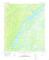
1953 · Nulato C-5
USGS Topo · 1:63,360
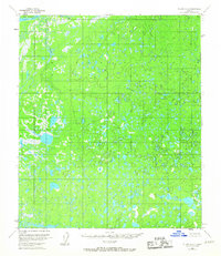
1953 · Nulato C-4
USGS Topo · 1:63,360

1964 · Nulato
USGS Topo · 1:250,000