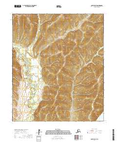
2017 Map of Nulato D-5 SE
USGS Topo · Published 2017About this map
The Nulato River meanders through this interior Alaskan landscape, defining the transition between the elevated Nulato Hills and the massive drainage basin of the west. This 2017 topographic survey highlights a remote wilderness area where the Nulato River flows southeast toward its eventual confluence, while the very edge of the mighty Yukon River appears in the southeastern corner of the quadrangle. The map captures the intricate drainage patterns of the region, including the tributary Mukluk Cr, showing the complex hydrologic network that has dictated travel and subsistence in the Yukon-Koyukuk region for generations.
Find a feature on this map
8 named features on this map. Tap any name to fly to it.
Don’t see what you’re looking for? This feature index may not catch every label — zoom into the map to look around manually.
Map Details
Editions of this 2017 Nulato D-5 SE Map
This is the sole edition of this map. No revisions or reprints were ever made.
Other maps of this area

1945 · Nulato
USGS Topo · 1:250,000

1951 · Nulato
USGS Topo · 1:250,000

1952 · Nulato D-5
USGS Topo · 1:63,360

1952 · Nulato C-4
USGS Topo · 1:63,360

1952 · Nulato D-4
USGS Topo · 1:63,360

1952 · Nulato C-5
USGS Topo · 1:63,360

1952 · Nulato
USGS Topo · 1:250,000
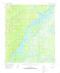
1953 · Nulato C-5
USGS Topo · 1:63,360
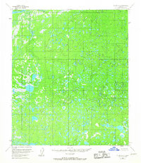
1953 · Nulato C-4
USGS Topo · 1:63,360

1964 · Nulato
USGS Topo · 1:250,000