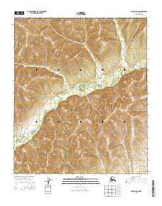
2015 Map of Nulato D-5 SW
USGS Topo · Published 2015About this map
The Nulato River winds through the interior landscape of this 2015 survey, carving a path between the elevated terrain of the Nulato Hills. This section of the Yukon-Koyukuk region is defined by its dramatic relief, with the river serving as the primary drainage for the surrounding uplands. The mapping highlights the complex topography of the hills, where elevation contours reveal a series of ridges and valleys that dictate the natural flow of the watershed. Established surveying boundaries, including t7s r2e and t8s r3e, provide a framework for the wilderness, though the landscape remains predominantly shaped by the river's course and the rising slopes of the hills. This document records the physical geography of the area as it existed in the early 21st century, prior to further shifts in the shifting arctic environment.
Find a feature on this map
6 named features on this map. Tap any name to fly to it.
Don’t see what you’re looking for? This feature index may not catch every label — zoom into the map to look around manually.
Map Details
Editions of this 2015 Nulato D-5 SW Map
This is the sole edition of this map. No revisions or reprints were ever made.
Other maps of this area

1945 · Nulato
USGS Topo · 1:250,000

1951 · Nulato
USGS Topo · 1:250,000

1952 · Nulato D-5
USGS Topo · 1:63,360

1952 · Nulato C-6
USGS Topo · 1:63,360

1952 · Nulato C-5
USGS Topo · 1:63,360

1952 · Nulato
USGS Topo · 1:250,000
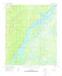
1953 · Nulato C-5
USGS Topo · 1:63,360
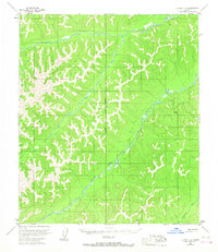
1953 · Nulato C-6
USGS Topo · 1:63,360
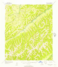
1955 · Nulato D-6
USGS Topo · 1:63,360

1964 · Nulato
USGS Topo · 1:250,000