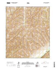
2017 Map of Nulato D-6 SE
USGS Topo · Published 2017About this map
Nulato Hills dominate this portion of the Alaskan interior, defined by a series of steep ridges and high summits that reach over 2,400 feet in several locations. The terrain is deeply dissected by numerous unnamed drainages that flow into the Nulato River, which winds through the southeastern corner of the quadrangle. This area represents a remote section of the Yukon-Koyukuk region where the topography transition from sharp peaks to the river valley floor. While the landscape is largely devoid of named human settlements or infrastructure, the map provides a precise record of the natural landforms and township boundaries, including t7s r1e, t7s r2e, t8s r1e, and t8s r2e, which serve as the primary framework for land navigation and geographic reference in this wilderness.
Find a feature on this map
6 named features on this map. Tap any name to fly to it.
Don’t see what you’re looking for? This feature index may not catch every label — zoom into the map to look around manually.
Map Details
Editions of this 2017 Nulato D-6 SE Map
This is the sole edition of this map. No revisions or reprints were ever made.
Other maps of this area

1945 · Nulato
USGS Topo · 1:250,000

1951 · Nulato
USGS Topo · 1:250,000

1952 · Nulato D-5
USGS Topo · 1:63,360

1952 · Nulato C-6
USGS Topo · 1:63,360

1952 · Nulato C-5
USGS Topo · 1:63,360

1952 · Nulato
USGS Topo · 1:250,000
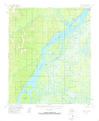
1953 · Nulato C-5
USGS Topo · 1:63,360
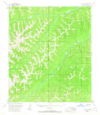
1953 · Nulato C-6
USGS Topo · 1:63,360
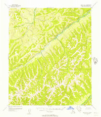
1955 · Nulato D-6
USGS Topo · 1:63,360

1964 · Nulato
USGS Topo · 1:250,000