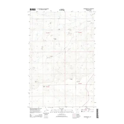
2014 Map of Nunemaker Hill
USGS Topo · Published 2014About this map
Nunemaker Hill rises as a prominent landmark in this section of Teton County, where the high plains are carved by a series of glacial coulees. The landscape is defined by drainage patterns flowing toward Willow Cr and Deep Cr, with the terrain interrupted by significant depressions like Hay Coulee, Wolf Coulee, and Maloney Coulee. The mapping of this era shows a sparse network of section-line roads, including S Bellview Rd and Hodgskiss Rd, reflecting the large-scale agricultural and ranching tracts typical of the region. Distinctive topographical features like Eagle Point and Nunemaker Coulee provide essential orientation in an area where the human footprint is limited to a handful of gravel roads and established township boundaries.
Find a feature on this map
21 named features on this map. Tap any name to fly to it.
Don’t see what you’re looking for? This feature index may not catch every label — zoom into the map to look around manually.
Map Details
Editions of this 2014 Nunemaker Hill Map
This is the sole edition of this map. No revisions or reprints were ever made.
Other maps of this area

1920 · Choteau
USGS Topo · 1:125,000

1955 · Choteau
USGS Topo · 1:250,000

1957 · Choteau
USGS Topo · 1:250,000

1958 · Choteau
USGS Topo · 1:250,000

1960 · Bynum
USGS Topo · 1:62,500

1960 · Choteau
USGS Topo · 1:62,500

1960 · Gilman
USGS Topo · 1:62,500
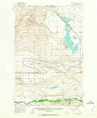
1960 · Freezeout Lake
USGS Topo · 1:62,500

1962 · Choteau
USGS Topo · 1:250,000
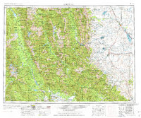
1976 · Choteau
USGS Topo · 1:250,000