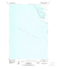
1950 Map of Nushagak Bay B-4
USGS Topo · Published 1955About this map
Nushagak Peninsula stretches into the expansive waters of Bristol Bay on this mid-century survey, documenting a largely maritime environment along the Alaskan coast. This map illustrates the transition from the low-lying peninsula into the shallow tidal reaches, specifically identifying coastal Mud flats that define the shoreline during low water. Compiled from earlier U. S. Coast and Geodetic Survey hydrographic and topographic data, the map focuses on the bathymetry and shoreline characteristics rather than inland development. The lack of settlements or roads underscores the wilderness nature of this portion of the Dillingham region during the late 1940s and early 1950s, making it a clear record of the natural coastline before modern changes.
Find a feature on this map
3 named features on this map. Tap any name to fly to it.
Don’t see what you’re looking for? This feature index may not catch every label — zoom into the map to look around manually.
Map Details
Editions of this 1950 Nushagak Bay B-4 Map
2 editions found
Other maps of this area

1945 · Nushagak Bay
USGS Topo · 1:250,000

1948 · Nushagak Bay C-4 And C-5
USGS Topo · 1:63,360

1949 · Nushagak Bay
USGS Topo · 1:250,000

1950 · Nushagak Bay B-4
USGS Topo · 1:63,360

1950 · Nushagak Bay C-3
USGS Topo · 1:63,360

1950 · Nushagak Bay C-4 And C-5
USGS Topo · 1:63,360
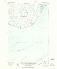
1950 · Nushagak Bay B-3
USGS Topo · 1:63,360

1951 · Nushagak Bay
USGS Topo · 1:250,000

1964 · Nushagak Bay
USGS Topo · 1:250,000
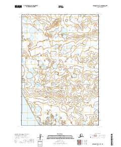
2019 · Nushagak Bay C-4 SE
USGS Topo · 1:25,000