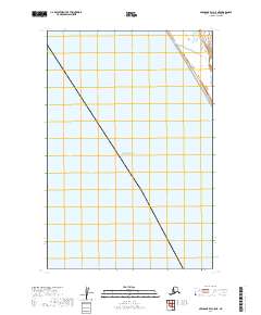
2019 Map of Nushagak Bay C-5 NE
USGS Topo · Published 2019About this map
Bristol Bay dominates this coastal landscape in the Dillingham Census Area, where the tidal waters of Southwest Alaska meet the shoreline of the Nushagak Peninsula. This mapping of the C-5 NE quadrangle documents a largely undeveloped environment defined by expansive wetlands and the complex interaction between land and sea. The survey identifies the Public Land Survey System townships of t16s r61w, t16s r60w, t17s r61w, and t18s r61w, providing a structured framework for a region where natural features far outweigh human infrastructure. Researchers will find a detailed coastal margin that illustrates the delicate hydrography and elevation gradients typical of the Bristol Bay drainage.
Find a feature on this map
5 named features on this map. Tap any name to fly to it.
Don’t see what you’re looking for? This feature index may not catch every label — zoom into the map to look around manually.
Map Details
Editions of this 2019 Nushagak Bay C-5 NE Map
This is the sole edition of this map. No revisions or reprints were ever made.
Other maps of this area

1945 · Nushagak Bay
USGS Topo · 1:250,000

1948 · Nushagak Bay D-4
USGS Topo · 1:63,360

1948 · Nushagak Bay C-4 And C-5
USGS Topo · 1:63,360

1949 · Nushagak Bay
USGS Topo · 1:250,000

1950 · Nushagak Bay C-4 And C-5
USGS Topo · 1:63,360

1950 · Nushagak Bay D-5
USGS Topo · 1:63,360

1951 · Nushagak Bay
USGS Topo · 1:250,000

1952 · Nushagak Bay D-4
USGS Topo · 1:63,360

1964 · Nushagak Bay
USGS Topo · 1:250,000
2019 · Nushagak Bay C-4 NW
USGS Topo · 1:25,000