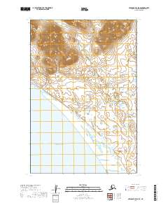
2019 Map of Nushagak Bay D-5 SE
USGS Topo · Published 2019About this map
The northern waters of Bristol Bay dominate the southern portion of this coastal survey, where the marine environment meets an intricate network of wetlands. This landscape is defined by its lack of roads or permanent settlements, showcasing the untamed geography of the Dillingham Census Area. Elevation contours reveal a cluster of peaks in the northern sections, particularly within T15s R61w and T15s R60w, rising sharply from the surrounding coastal plains. The transition from these higher altitudes to the saturated marshlands in T16s R61w illustrates the complex drainage patterns common to this subarctic region. This map provides a technical foundation for understanding the area's natural boundaries and the specific township and range divisions that structure this remote stretch of the Alaska coastline.
Find a feature on this map
5 named features on this map. Tap any name to fly to it.
Don’t see what you’re looking for? This feature index may not catch every label — zoom into the map to look around manually.
Map Details
Editions of this 2019 Nushagak Bay D-5 SE Map
This is the sole edition of this map. No revisions or reprints were ever made.
Other maps of this area

1945 · Nushagak Bay
USGS Topo · 1:250,000

1948 · Nushagak Bay D-4
USGS Topo · 1:63,360

1948 · Nushagak Bay C-4 And C-5
USGS Topo · 1:63,360

1949 · Nushagak Bay
USGS Topo · 1:250,000

1950 · Nushagak Bay C-4 And C-5
USGS Topo · 1:63,360

1950 · Nushagak Bay D-5
USGS Topo · 1:63,360

1951 · Nushagak Bay
USGS Topo · 1:250,000

1952 · Nushagak Bay D-4
USGS Topo · 1:63,360

1964 · Nushagak Bay
USGS Topo · 1:250,000
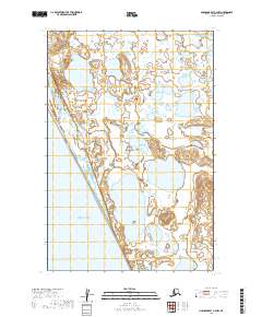
2019 · Nushagak Bay C-4 NW
USGS Topo · 1:25,000