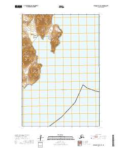
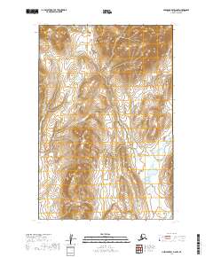
2019 Map of Nushagak Bay D-6 SE
USGS Topo · Published 2019About this map
Metervik Bay and the northern reaches of Bristol Bay dominate this coastal landscape in the Dillingham Census Area. This 2019 survey documents the intricate topography of the Alaskan shoreline, where steep coastal bluffs rise sharply from the water to elevations exceeding 500 feet. The map highlights the transition from the sheltered waters of the inlet to the open expanse of the bay. Defined by the Public Land Survey System boundaries of t15s r63w and t16s r63w, the terrain is characterized by a complex network of wetlands and tidal flats that illustrate the dynamic nature of the subarctic maritime environment. Researchers can trace the exact contour of the coast and the inland drainage patterns that feed into these significant western Alaska water bodies.
Find a feature on this map
5 named features on this map. Tap any name to fly to it.
Don’t see what you’re looking for? This feature index may not catch every label — zoom into the map to look around manually.
Map Details
Editions of this 2019 Nushagak Bay D-6 SE Map
This is the sole edition of this map. No revisions or reprints were ever made.
Other maps of this area

1945 · Nushagak Bay
USGS Topo · 1:250,000

1949 · Nushagak Bay
USGS Topo · 1:250,000

1950 · Nushagak Bay D-5
USGS Topo · 1:63,360

1950 · Nushagak Bay D-6
USGS Topo · 1:63,360

1951 · Nushagak Bay
USGS Topo · 1:250,000

1964 · Nushagak Bay
USGS Topo · 1:250,000
2019 · Nushagak Bay D-6 NE
USGS Topo · 1:25,000
2019 · Hagemeister Island C-1 OE E NW
USGS Topo · 1:25,000
2019 · Nushagak Bay D-6 SW
USGS Topo · 1:25,000
2019 · Nushagak Bay D-6 NW
USGS Topo · 1:25,000