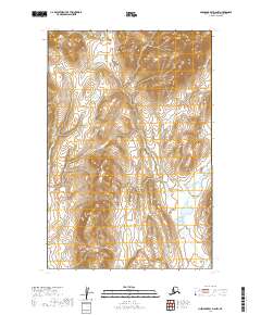
2019 Map of Nushagak Bay D-6 NW
USGS Topo · Published 2019About this map
The northern reaches of Bristol Bay's hinterland are defined by the intricate hydrological systems and complex elevation contours of this 2019 survey. This region, specifically spanning portions of t14s r64w and t14s r63w, consists of a dense network of wetlands and unnamed water bodies that dominate the valley floors between rising ridges. The topographical data, provided by the National Elevation Dataset, illustrates a landscape shaped by glacial or periglacial processes, where drainage patterns are often subtle and non-linear. To the south, in t15s r64w and t15s r63w, the map continues to trace the Public Land Survey System boundaries across a largely uninhabited wilderness. This survey is a record of the raw geography of the Dillingham Census Area, providing essential baseline data for a territory without established roads or named settlements.
Find a feature on this map
4 named features on this map. Tap any name to fly to it.
Don’t see what you’re looking for? This feature index may not catch every label — zoom into the map to look around manually.
Map Details
Editions of this 2019 Nushagak Bay D-6 NW Map
This is the sole edition of this map. No revisions or reprints were ever made.
Other maps of this area

1945 · Nushagak Bay
USGS Topo · 1:250,000

1949 · Nushagak Bay
USGS Topo · 1:250,000

1950 · Nushagak Bay D-6
USGS Topo · 1:63,360

1950 · Hagemeister Island D-1
USGS Topo · 1:63,360

1951 · Goodnews
USGS Topo · 1:250,000

1951 · Hagemeister Island
USGS Topo · 1:250,000

1951 · Nushagak Bay
USGS Topo · 1:250,000

1952 · Hagemeister Island D-1
USGS Topo · 1:63,360

1954 · Goodnews A-3
USGS Topo · 1:63,360

1957 · Hagemeister Island
USGS Topo · 1:250,000