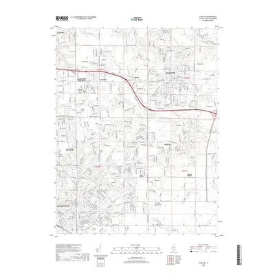
2018 Map of O'Fallon
USGS Topo · Published 2018About this map
Belleville and O'Fallon anchor this section of Saint Clair County, showing a landscape defined by suburban expansion and a dense network of local roads. The area between Fairview Heights and Shiloh is characterized by numerous small lakes and ponds, such as Randles Lake and Lake Christine, which are integrated into the residential developments. The map provides significant genealogical value through its many burial sites, ranging from the large Walnut Hill Cem in the south to smaller, family-named plots like Moore Cem and Engelmann Cem.
Find a feature on this map
393 named features on this map. Tap any name to fly to it.
Don’t see what you’re looking for? This feature index may not catch every label — zoom into the map to look around manually.
Map Details
Editions of this 2018 O'Fallon Map
This is the sole edition of this map. No revisions or reprints were ever made.
Other maps of this area

1888 · St. Louis
USGS Topo · 1:62,500

1907 · Belleville
USGS Topo · 1:62,500

1910 · Waterloo
USGS Topo · 1:62,500

1912 · New Athens
USGS Topo · 1:62,500

1913 · Waterloo
USGS Topo · 1:62,500

1931 · French Village
USGS Topo · 1:24,000

1935 · Lebanon
USGS Topo · 1:24,000

1935 · French Village
USGS Topo · 1:24,000

1935 · Monks Mound
USGS Topo · 1:24,000

1937 · Collinsville
USGS Topo · 1:24,000