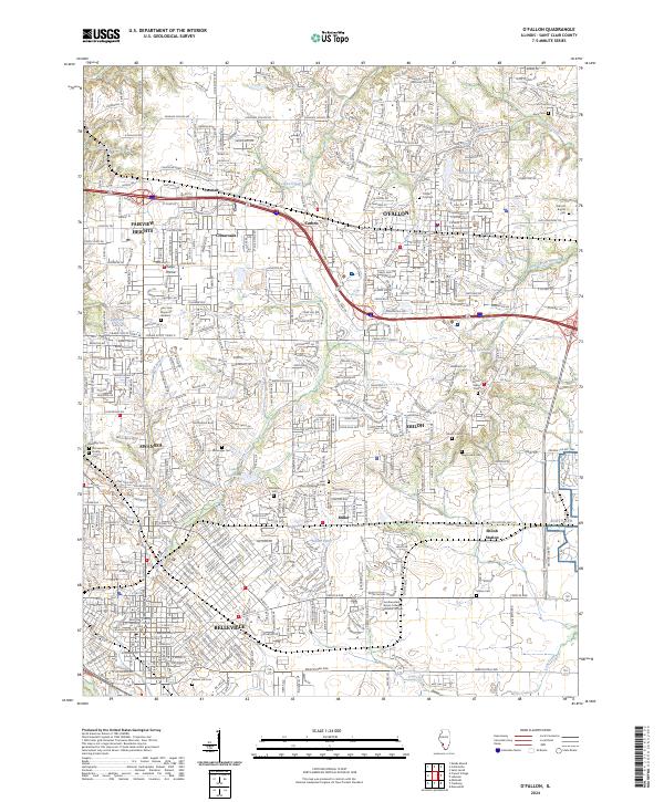
2024 Map of O'Fallon
USGS Topo · Published 2024About this map
Scott Afb anchors the eastern portion of this contemporary landscape, where the urban expansion of Belleville and O'Fallon meets the edges of St. Clair County. The map reveals a densely developed corridor along Interstate 64 and U.S. 50, connecting several key communities including Fairview Heights, Shiloh, and the smaller settlement at Carbon. This area is characterized by its numerous small lakes and branches, such as Wolf Branch and Rock Spring Branch, which wind through residential neighborhoods and industrial zones.
Find a feature on this map
53 named features on this map. Tap any name to fly to it.
Don’t see what you’re looking for? This feature index may not catch every label — zoom into the map to look around manually.
Map Details
Editions of this 2024 O'Fallon Map
This is the sole edition of this map. No revisions or reprints were ever made.
Other maps of this area

1888 · St. Louis
USGS Topo · 1:62,500

1907 · Belleville
USGS Topo · 1:62,500

1910 · Waterloo
USGS Topo · 1:62,500

1912 · New Athens
USGS Topo · 1:62,500

1913 · Waterloo
USGS Topo · 1:62,500

1931 · French Village
USGS Topo · 1:24,000

1935 · Lebanon
USGS Topo · 1:24,000

1935 · French Village
USGS Topo · 1:24,000

1935 · Monks Mound
USGS Topo · 1:24,000

1937 · Collinsville
USGS Topo · 1:24,000