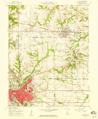
1954 Map of O'Fallon
USGS Topo · Published 1959About this map
Belleville and O'Fallon anchor this mid-century view of St. Clair County, where the industrial influence of the coal industry and rail transport is clearly visible. The St Louis and O'Fallon Mine and the complex web of the Baltimore and Ohio, Southern, and Illinois Terminal railroads illustrate the connectivity of the era. North of the developed urban centers, the landscape transitions into the open spaces of Prairie Ridge and Shiloh Valley, dotted with local landmarks like Milburn Sch and Central Sch. To the east, the footprint of Scott Air Force Base begins to emerge, signaling the region's military significance. The presence of numerous small cemeteries, such as Oak Hill Cem and Messenger Cem, alongside localized airfields like Gundlach Airfield, provides essential detail for genealogists and local historians tracing the development of these Illinois communities.
Find a feature on this map
48 named features on this map. Tap any name to fly to it.
Don’t see what you’re looking for? This feature index may not catch every label — zoom into the map to look around manually.
Map Details
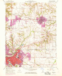
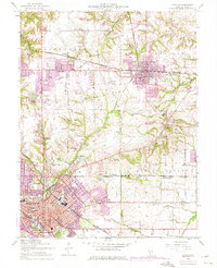
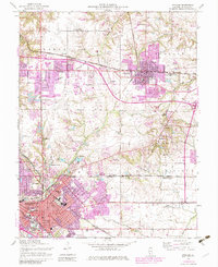
Editions of this 1954 O'Fallon Map
4 editions found
Other maps of this area

1888 · St. Louis
USGS Topo · 1:62,500

1907 · Belleville
USGS Topo · 1:62,500

1910 · Waterloo
USGS Topo · 1:62,500

1912 · New Athens
USGS Topo · 1:62,500

1913 · Waterloo
USGS Topo · 1:62,500

1931 · French Village
USGS Topo · 1:24,000

1935 · Lebanon
USGS Topo · 1:24,000

1935 · French Village
USGS Topo · 1:24,000

1935 · Monks Mound
USGS Topo · 1:24,000

1937 · Collinsville
USGS Topo · 1:24,000