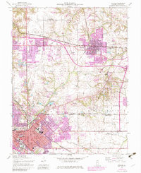
1954 Map of O'Fallon
USGS Topo · Published 1982About this map
The Caseyville Ridge rises above a landscape defined by postwar expansion and the deep-rooted presence of the Baltimore and Ohio and Southern railroads. Centered between O'Fallon and the northern edge of Belleville, this map documents a shift from rural schoolhouses to mid-century suburbanization, with purple revision tints marking the rapid growth of Fairview Heights and residential tracts surrounding Swansea. Grounded in the local economy, the map reveals industrial relics like the Mine Dump near Pontiac and educational institutions such as Belleville Jr College. To the southeast, the massive footprint of Scott Air Force Base occupies the Shiloh Valley, while smaller, historical landmarks like St Johns Orphanage and Shiloh Station provide specific touchpoints for local genealogists. Numerous family cemeteries, including Oak Hill Cem and Messenger Cem, remain scattered across the rolling terrain between Engle Creek and Wolf Branch.
Find a feature on this map
52 named features on this map. Tap any name to fly to it.
Don’t see what you’re looking for? This feature index may not catch every label — zoom into the map to look around manually.
Map Details
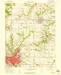
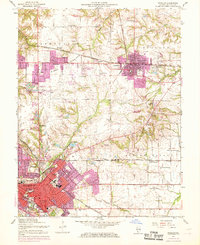
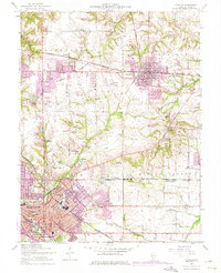
Editions of this 1954 O'Fallon Map
4 editions found
Other maps of this area

1888 · St. Louis
USGS Topo · 1:62,500

1907 · Belleville
USGS Topo · 1:62,500

1910 · Waterloo
USGS Topo · 1:62,500

1912 · New Athens
USGS Topo · 1:62,500

1913 · Waterloo
USGS Topo · 1:62,500

1931 · French Village
USGS Topo · 1:24,000

1935 · Lebanon
USGS Topo · 1:24,000

1935 · French Village
USGS Topo · 1:24,000

1935 · Monks Mound
USGS Topo · 1:24,000

1937 · Collinsville
USGS Topo · 1:24,000