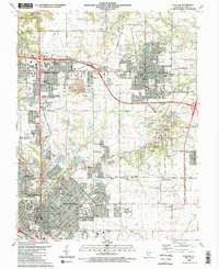
1991 Map of O'Fallon
USGS Topo · Published 1991About this map
The rapid suburbanization of St. Clair County is evident in this late-20th-century topographic view of O'Fallon, Fairview Heights, and Belleville. The landscape exhibits a transition from its agrarian and industrial past, marked by remnants like a Mine Dump and the Southern Railway corridor, to a dense regional commercial hub anchored by the St Clair Square Mall. Educational and institutional growth is prominent, featuring the Belleville Area Junior College campus and numerous facilities like the O'Fallon Central Sch.
Find a feature on this map
98 named features on this map. Tap any name to fly to it.
Don’t see what you’re looking for? This feature index may not catch every label — zoom into the map to look around manually.
Map Details
Editions of this 1991 O'Fallon Map
2 editions found
Other maps of this area

1888 · St. Louis
USGS Topo · 1:62,500

1907 · Belleville
USGS Topo · 1:62,500

1910 · Waterloo
USGS Topo · 1:62,500

1912 · New Athens
USGS Topo · 1:62,500

1913 · Waterloo
USGS Topo · 1:62,500

1931 · French Village
USGS Topo · 1:24,000

1935 · Lebanon
USGS Topo · 1:24,000

1935 · French Village
USGS Topo · 1:24,000

1935 · Monks Mound
USGS Topo · 1:24,000

1937 · Collinsville
USGS Topo · 1:24,000