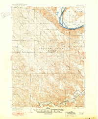
1937 Map of Oahe
USGS Topo · Published 1950About this map
The Missouri River forms a wide, sweeping boundary across this Central South Dakota landscape, defining the fertile land of Peoria Bottom and the elevated Peoria Flats. This mid-century survey, based on data collected in 1934, illustrates a cattle-ranching economy organized around draws and ridges, featuring family holdings such as the Rhodes Ranch, Anderson Ranch, and Madison Ranch. Local education is supported by isolated rural schoolhouses, including Riverview Sch and Willow Creek Butte Sch, positioned to serve the scattered homesteads.
Find a feature on this map
46 named features on this map. Tap any name to fly to it.
Don’t see what you’re looking for? This feature index may not catch every label — zoom into the map to look around manually.
Map Details
Editions of this 1937 Oahe Map
3 editions found
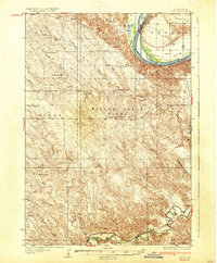
Other maps of this area

1924 · Pierre
USGS Topo · 1:62,500

1937 · Oahe
USGS Topo · 1:62,500

1951 · Van Metre
USGS Topo · 1:24,000

1953 · Teton
USGS Topo · 1:24,000

1953 · Oahe SW
USGS Topo · 1:24,000

1953 · Pierre SW
USGS Topo · 1:24,000

1953 · Wendte
USGS Topo · 1:24,000

1953 · Wendte NE
USGS Topo · 1:24,000

1953 · Pierre 3 NW
USGS Topo · 1:24,000

1954 · Pierre
USGS Topo · 1:250,000