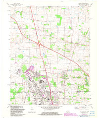
1979 Map of Oak Grove
USGS Topo · Published 1983About this map
Fort Campbell Military Reservation dominates the southern landscape of this 1970s study, straddling the Kentucky Tennessee state line. The map illustrates a dense military infrastructure including the Campbell Army Air Field, numerous training grounds, and base housing developments like those near Wilkes Park. Beyond the base boundary, the transition from military to civilian life is marked by the growth of Oak Grove and the emergence of residential clusters like Hensleytown and Kennedy. The eastern half of the map retains its rural character, defined by the winding course of the West Fork Red River. This area is dotted with historic local landmarks such as Salem Ch and Lester Memorial Ch, alongside the Drive-in Theater near the highway. The map documents the region's late-century modernization, specifically at Interchange 86, while preserving the locations of family-centric sites like Good Hope Cem.
Find a feature on this map
38 named features on this map. Tap any name to fly to it.
Don’t see what you’re looking for? This feature index may not catch every label — zoom into the map to look around manually.
Map Details
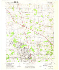
Editions of this 1979 Oak Grove Map
2 editions found
Other maps of this area

1944 · Clarksville
USGS Topo · 1:50,000

1950 · Pembroke
USGS Topo · 1:24,000

1951 · Pembroke
USGS Topo · 1:24,000

1951 · Church Hill
USGS Topo · 1:24,000

1951 · Hopkinsville
USGS Topo · 1:24,000

1951 · New Providence
USGS Topo · 1:24,000

1951 · Hammacksville
USGS Topo · 1:24,000

1951 · Clarksville
USGS Topo · 1:24,000

1951 · Herndon
USGS Topo · 1:24,000

1951 · Oak Grove
USGS Topo · 1:24,000