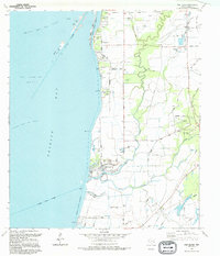
1994 Map of Oak Island
USGS Topo · Published 1994About this map
Trinity Bay dominates the western half of this Chambers County coastal study, where the waters meet a landscape defined by petrochemical extraction and low-lying marshes. The presence of the Trinity Bay Oil Field, Fishers Reef Oil Field, and North Fishers Reef Gas Field indicates an intensive industrial footprint offshore, while the settlement of Oak Island sits protected behind the Eagle Levee. The area’s geography is shaped by the complex confluence of the Trinity River Channel and the Double Bayou, which splits into the East Fork and West Fork. Genealogists and local historians can locate community landmarks such as Crook Cem, Godfrey Cem, Mt Zion Ch, and St Paul Ch. This map records the late-century infrastructure of the Texas coast, from the Radio Tower and Sewage Disposal plant to public spaces like Job Beason Park and Double Bayou Park.
Find a feature on this map
43 named features on this map. Tap any name to fly to it.
Don’t see what you’re looking for? This feature index may not catch every label — zoom into the map to look around manually.
Map Details
Editions of this 1994 Oak Island Map
This is the sole edition of this map. No revisions or reprints were ever made.
Other maps of this area

1931 · Frozen Point
USGS Topo · 1:24,000

1933 · Frozen Point
USGS Topo · 1:31,680

1933 · Whites Lake
USGS Topo · 1:31,680

1933 · Smith Point
USGS Topo · 1:31,680

1942 · Anahuac
USGS Topo · 1:24,000

1943 · West of Eagle
USGS Topo · 1:31,680

1943 · Frozen Point
USGS Topo · 1:24,000
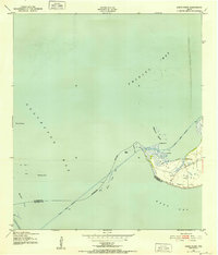
1943 · Smith Point
USGS Topo · 1:24,000
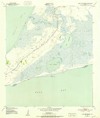
1943 · Lake Stephenson
USGS Topo · 1:24,000

1950 · Houston
USGS Topo · 1:250,000