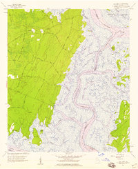
1957 Map of Oak Level
USGS Topo · Published 1959About this map
Oak Level anchors the high ground of this coastal landscape, situated among a network of private roads like Woodland Field Road and Redbird Private Road. The intricate salt marshes of the Georgia coast dominate the eastern half of the sheet, where the Ogeechee River and Bear River converge near the Intracostal Waterway Florida-Georgia Passage. Small maritime settlements and landings such as Lincoln Landing, Belvedere, and the Kilkenny Club define the edge where the forest meets the marsh.
Find a feature on this map
59 named features on this map. Tap any name to fly to it.
Don’t see what you’re looking for? This feature index may not catch every label — zoom into the map to look around manually.
Map Details
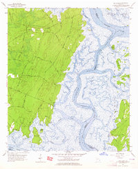
Editions of this 1957 Oak Level Map
2 editions found
Other maps of this area

1920 · Sapelo River
USGS Topo · 1:62,500

1920 · Limerick
USGS Topo · 1:62,500

1928 · St Catherines Island
USGS Topo · 1:62,500

1943 · St Catherines Island
USGS Topo · 1:62,500

1943 · Sapelo River
USGS Topo · 1:62,500

1944 · Limerick
USGS Topo · 1:62,500

1944 · Ossabaw Island
USGS Topo · 1:62,500

1945 · St. Catherine's Island
USGS Topo · 1:62,500

1945 · Ossabaw Island
USGS Topo · 1:62,500

1945 · Sapelo River
USGS Topo · 1:62,500