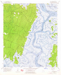
1957 Map of Oak Level
USGS Topo · Published 1965About this map
Ogeechee River and the winding Intracoastal Waterway Florida Passage dominate this coastal landscape at the borders of Bryan, Chatham, and Liberty counties. The map captures a complex network of tidal marshes and narrow channels like Kilkenny Creek and Buckhead Creek that define the Georgia shoreline before modern development altered much of the low-lying terrain. Interior land is largely characterized by woodland and private roads leading to small coastal outposts.
Find a feature on this map
43 named features on this map. Tap any name to fly to it.
Don’t see what you’re looking for? This feature index may not catch every label — zoom into the map to look around manually.
Map Details
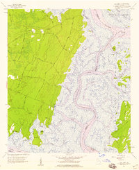
Editions of this 1957 Oak Level Map
2 editions found
Other maps of this area

1920 · Sapelo River
USGS Topo · 1:62,500

1920 · Limerick
USGS Topo · 1:62,500

1928 · St Catherines Island
USGS Topo · 1:62,500

1943 · St Catherines Island
USGS Topo · 1:62,500

1943 · Sapelo River
USGS Topo · 1:62,500

1944 · Limerick
USGS Topo · 1:62,500

1944 · Ossabaw Island
USGS Topo · 1:62,500

1945 · St. Catherine's Island
USGS Topo · 1:62,500

1945 · Ossabaw Island
USGS Topo · 1:62,500

1945 · Sapelo River
USGS Topo · 1:62,500