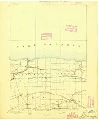
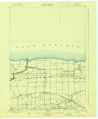
1897 Map of Oak Orchard
USGS Topo · Published 1897About this map
The Erie Canal cuts across the southern portion of this landscape, anchoring a series of small canal-side communities like Gaines Basin, Brockville, and Hulberton. At this time in the late 19th century, the canal remained a vital artery of commerce for Orleans County, paralleled by the developing rail infrastructure further north. The Rome Watertown and Ogdensburg R. R. connects the settlements of Waterport Sta. and Carlton Sta., facilitating the transport of agricultural goods from the interior orchards toward Lake Ontario.
Find a feature on this map
36 named features on this map. Tap any name to fly to it.
Don’t see what you’re looking for? This feature index may not catch every label — zoom into the map to look around manually.
Map Details
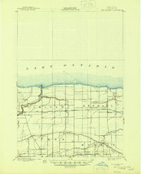
Editions of this 1897 Oak Orchard Map
6 editions found
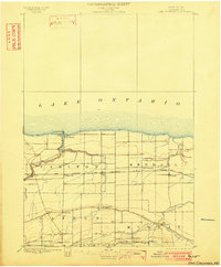
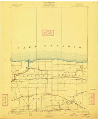
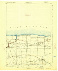
Other maps of this area
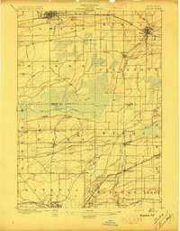
1897 · Albion
USGS Topo · 1:62,500
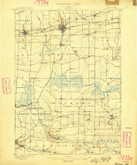
1897 · Medina
USGS Topo · 1:62,500
1897 · Ridgeway
USGS Topo · 1:62,500
1899 · Hamlin
USGS Topo · 1:62,500
1899 · Brockport
USGS Topo · 1:62,500
1932 · Hamlin
USGS Topo · 1:24,000
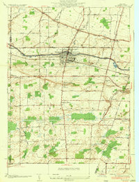
1934 · Brockport
USGS Topo · 1:24,000
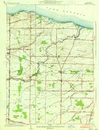
1935 · Hamlin
USGS Topo · 1:24,000
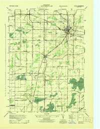
1944 · Holley
USGS Topo · 1:31,680
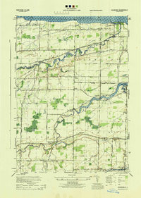
1944 · Ashwood
USGS Topo · 1:31,680