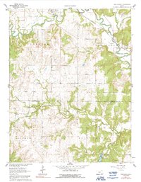
1962 Map of Oak Valley
USGS Topo · Published 1992About this map
Longton and Oak Valley anchor this southeastern Kansas landscape, where the Elk River carves a winding path across the northern reaches of the quadrangle. The terrain is defined by the transition between the rolling hills of Longton and Oak Valley townships, marked by a network of drainage systems including Salt Creek and the strikingly named Bloody Run. Evidence of the local economy and social life is visible in the presence of a Quarry and the Fairground near Longton, while a Pumping Station along the river indicates the infrastructure of the early 1960s.
Find a feature on this map
25 named features on this map. Tap any name to fly to it.
Don’t see what you’re looking for? This feature index may not catch every label — zoom into the map to look around manually.
Map Details
Editions of this 1962 Oak Valley Map
2 editions found
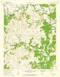
Other maps of this area

1885 · Sedan
USGS Topo · 1:125,000

1886 · Independence
USGS Topo · 1:125,000

1889 · Sedan
USGS Topo · 1:125,000

1894 · Independence
USGS Topo · 1:125,000

1905 · Independence
USGS Topo · 1:125,000

1947 · Joplin
USGS Topo · 1:250,000

1949 · Joplin
USGS Topo · 1:250,000

1954 · Joplin
USGS Topo · 1:250,000

1955 · Wichita
USGS Topo · 1:250,000

1958 · Wichita
USGS Topo · 1:250,000