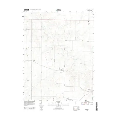
2015 Map of Oakdale
USGS Topo · Published 2015About this map
Elkton and Oakdale anchor this rural landscape where numerous small watercourses, including Elkhorn Cr and Archie Cr, define the topography. The region is characterized by a dense network of county roads and family-named landmarks that speak to generations of local settlement. Genealogists will find several significant burial sites, such as the Saint Johns Evangelical Cem near Plum Hill and the Oak Dale Cem further south. The settlement pattern remains oriented toward established crossroads like Lively Grove and Stone Church. This survey illustrates how the natural drainage of Williams Cr and Brushy Cr interacts with a strictly gridded road system, reflecting the agricultural heritage and persistent community structure of this Washington County area.
Find a feature on this map
57 named features on this map. Tap any name to fly to it.
Don’t see what you’re looking for? This feature index may not catch every label — zoom into the map to look around manually.
Map Details
Editions of this 2015 Oakdale Map
This is the sole edition of this map. No revisions or reprints were ever made.
Other maps of this area

1910 · Okawville
USGS Topo · 1:62,500

1914 · Coulterville
USGS Topo · 1:62,500

1917 · Coulterville
USGS Topo · 1:62,500

1924 · Pinckneyville
USGS Topo · 1:62,500

1926 · Pinckneyville
USGS Topo · 1:62,500

1931 · Hoyleton
USGS Topo · 1:48,000

1932 · Nashville
USGS Topo · 1:62,500

1936 · Nashville
USGS Topo · 1:62,500

1940 · Okawville
USGS Topo · 1:62,500
1957 · Venedy
USGS Topo · 1:24,000