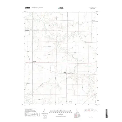
2021 Map of Oakdale
USGS Topo · Published 2021About this map
The agricultural landscape of Washington County is defined by the small settlements of Lively Grove and Oakdale, appearing here in 2021. This portion of southern Illinois is characterized by a high density of small watercourses, including Elkhorn Cr and Williams Cr, which drain the surrounding farmland. The map provides a clear picture of the rural infrastructure, with a network of secondary routes like Elkton Rd and Stone Church Rd connecting isolated communities.
Find a feature on this map
35 named features on this map. Tap any name to fly to it.
Don’t see what you’re looking for? This feature index may not catch every label — zoom into the map to look around manually.
Map Details
Editions of this 2021 Oakdale Map
This is the sole edition of this map. No revisions or reprints were ever made.
Other maps of this area
1910 · Okawville
USGS Topo · 1:62,500
1914 · Coulterville
USGS Topo · 1:62,500
1917 · Coulterville
USGS Topo · 1:62,500
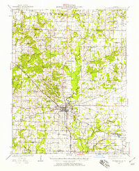
1924 · Pinckneyville
USGS Topo · 1:62,500
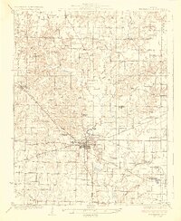
1926 · Pinckneyville
USGS Topo · 1:62,500
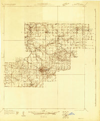
1931 · Hoyleton
USGS Topo · 1:48,000
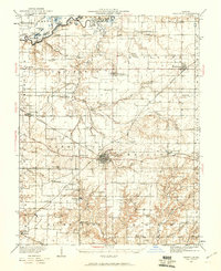
1932 · Nashville
USGS Topo · 1:62,500
1936 · Nashville
USGS Topo · 1:62,500
1940 · Okawville
USGS Topo · 1:62,500
1957 · Venedy
USGS Topo · 1:24,000