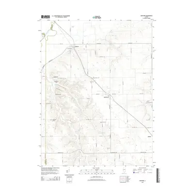
2015 Map of Oakford
USGS Topo · Published 2015About this map
Oakford and Atterberry anchor this central Illinois landscape where the Sangamon River carves a winding path through the northwest corner. The terrain is characterized by a series of deep draws and drainages, including Mott Hollow, Millseed Hollow, and Opossum Hollow, which cut through the uplands near Bobtown. These features illustrate the local topography before reaching the flatter agricultural plains to the east.
Find a feature on this map
69 named features on this map. Tap any name to fly to it.
Don’t see what you’re looking for? This feature index may not catch every label — zoom into the map to look around manually.
Map Details
Editions of this 2015 Oakford Map
This is the sole edition of this map. No revisions or reprints were ever made.
Other maps of this area

1909 · Tallula
USGS Topo · 1:62,500

1930 · Chandlerville
USGS Topo · 1:62,500

1932 · Chandlerville
USGS Topo · 1:62,500

1932 · Virginia
USGS Topo · 1:62,500

1933 · Petersburg
USGS Topo · 1:62,500

1936 · Virginia
USGS Topo · 1:62,500

1938 · Petersburg
USGS Topo · 1:62,500

1940 · Tallula
USGS Topo · 1:62,500

1948 · Quincy
USGS Topo · 1:250,000

1956 · Quincy
USGS Topo · 1:250,000