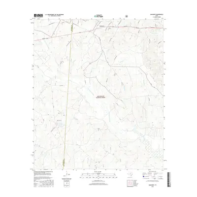
2016 Map of Oakhurst
USGS Topo · Published 2016About this map
Sam Houston National Forest encompasses the majority of this landscape, where the E Fork San Jacinto River and its numerous tributaries, including McCombs Cr and Palmetto Cr, drain the wooded terrain. The settlement of Oakhurst sits at the northern edge along the Highway 190 corridor, serving as a gateway to the forest.
Find a feature on this map
49 named features on this map. Tap any name to fly to it.
Don’t see what you’re looking for? This feature index may not catch every label — zoom into the map to look around manually.
Map Details
Editions of this 2016 Oakhurst Map
This is the sole edition of this map. No revisions or reprints were ever made.
Other maps of this area
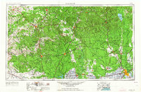
1954 · Beaumont
USGS Topo · 1:250,000
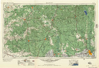
1957 · Beaumont
USGS Topo · 1:250,000
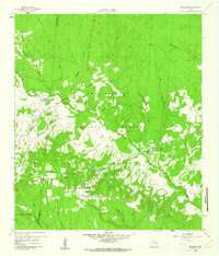
1960 · Maynard
USGS Topo · 1:24,000
1960 · Carlisle
USGS Topo · 1:24,000
1960 · New Waverly
USGS Topo · 1:24,000
1960 · Stephen Creek
USGS Topo · 1:24,000
1960 · Coldspring
USGS Topo · 1:24,000
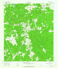
1960 · Phelps
USGS Topo · 1:24,000
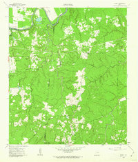
1961 · Staley
USGS Topo · 1:24,000
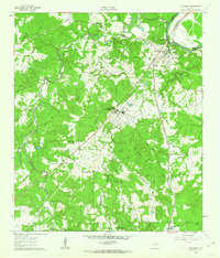
1961 · Riverside
USGS Topo · 1:24,000