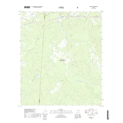
2019 Map of Oakhurst
USGS Topo · Published 2019About this map
Oakhurst sits at the northern edge of the Sam Houston National Forest, serving as a primary settlement node where the rolling woodlands of San Jacinto County meet the Walker County line. The landscape is defined by the winding course of the E Fork San Jacinto River and its numerous tributaries, including Cobb Cr and Johnson Cr. This region maintains a traditional rural character, evidenced by the scattered distribution of local burial grounds like Center Hill Cem and Cleveland Cem. The drainage patterns, from the smaller Cedar Lick Br to the larger river fork, suggest a terrain heavily influenced by seasonal water flow and dense timber. Road networks such as Dodge Oakhurst Rd and Harrison Rd provide the primary lifelines through the forest, connecting isolated family-named landmarks and small-scale water bodies like Grace Lake.
Find a feature on this map
46 named features on this map. Tap any name to fly to it.
Don’t see what you’re looking for? This feature index may not catch every label — zoom into the map to look around manually.
Map Details
Editions of this 2019 Oakhurst Map
This is the sole edition of this map. No revisions or reprints were ever made.
Other maps of this area

1954 · Beaumont
USGS Topo · 1:250,000

1957 · Beaumont
USGS Topo · 1:250,000

1960 · Maynard
USGS Topo · 1:24,000

1960 · Carlisle
USGS Topo · 1:24,000

1960 · New Waverly
USGS Topo · 1:24,000

1960 · Stephen Creek
USGS Topo · 1:24,000

1960 · Coldspring
USGS Topo · 1:24,000

1960 · Phelps
USGS Topo · 1:24,000

1961 · Staley
USGS Topo · 1:24,000

1961 · Riverside
USGS Topo · 1:24,000