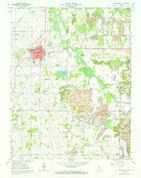
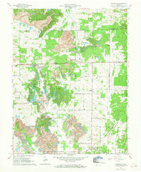
1961 Map of Oakland City
USGS Topo · Published 1963About this map
Oakland City serves as the primary hub on this early 1960s survey, characterized by its grid of residential streets and the campus of Oakland City College. The landscape is a complex intersection of historical infrastructure and industrial activity, marked significantly by the diagonal trace of the Wabash and Erie Canal in the northwest. To the south and east, the presence of the Enos Mine and various unnamed Strip Mines indicate the heavy role of resource extraction in the local economy during this era.
Find a feature on this map
65 named features on this map. Tap any name to fly to it.
Don’t see what you’re looking for? This feature index may not catch every label — zoom into the map to look around manually.
Map Details
Editions of this 1961 Oakland City Map
4 editions found
Other maps of this area

1900 · De Gonia Springs
USGS Topo · 1:62,500

1902 · Ditney
USGS Topo · 1:125,000

1902 · Degonia Springs
USGS Topo · 1:62,500

1902 · Boonville
USGS Topo · 1:62,500

1903 · Velpen
USGS Topo · 1:62,500

1903 · Petersburg
USGS Topo · 1:62,500

1956 · Vincennes
USGS Topo · 1:250,000

1957 · Vincennes
USGS Topo · 1:250,000

1958 · Vincennes
USGS Topo · 1:250,000
1960 · Folsomville
USGS Topo · 1:24,000