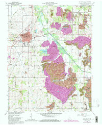
1961 Map of Oakland City
USGS Topo · Published 1981About this map
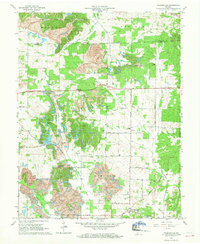
Oakland City serves as the focal point of this Southern Indiana landscape, characterized by the convergence of the Southern Railroad and Conrail lines. The presence of Oakland City College and local recreation areas like Wirth Park indicate a well-established community, while the surrounding countryside is defined by a dense network of family-named landmarks and rural institutions. Significant land use changes are evident through extensive Strip Mine activity that has reshaped the terrain between the Patoka River and Spurgeon.
Find a feature on this map
57 named features on this map. Tap any name to fly to it.
Don’t see what you’re looking for? This feature index may not catch every label — zoom into the map to look around manually.
Map Details
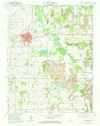
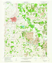
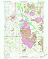
Editions of this 1961 Oakland City Map
4 editions found
Other maps of this area

1900 · De Gonia Springs
USGS Topo · 1:62,500

1902 · Ditney
USGS Topo · 1:125,000

1902 · Degonia Springs
USGS Topo · 1:62,500

1902 · Boonville
USGS Topo · 1:62,500

1903 · Velpen
USGS Topo · 1:62,500

1903 · Petersburg
USGS Topo · 1:62,500

1956 · Vincennes
USGS Topo · 1:250,000

1957 · Vincennes
USGS Topo · 1:250,000

1958 · Vincennes
USGS Topo · 1:250,000
1960 · Folsomville
USGS Topo · 1:24,000