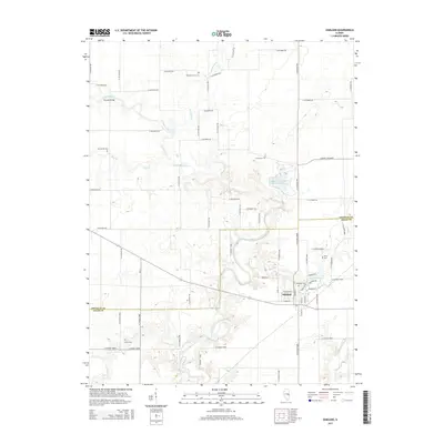
2015 Map of Oakland
USGS Topo · Published 2015About this map
The Oakland community serves as the primary hub in this portion of Coles County, where the grid of rural roads meets the winding course of the Embarras River. The landscape is characterized by its agricultural heritage and several significant water features, including Lake Oakland and the expansive Walnut Point State Park Lake to the north. These reservoirs, alongside Miller Lake, indicate a region where water management and recreation have shaped the local topography alongside traditional farming.
Find a feature on this map
72 named features on this map. Tap any name to fly to it.
Don’t see what you’re looking for? This feature index may not catch every label — zoom into the map to look around manually.
Map Details
Editions of this 2015 Oakland Map
This is the sole edition of this map. No revisions or reprints were ever made.
Other maps of this area

1936 · Oakland
USGS Topo · 1:48,000

1942 · Oakland
USGS Topo · 1:62,500

1946 · Kansas
USGS Topo · 1:62,500

1949 · Kansas
USGS Topo · 1:62,500

1953 · Indianapolis
USGS Topo · 1:250,000

1956 · Indianapolis
USGS Topo · 1:250,000

1956 · Newman
USGS Topo · 1:62,500

1956 · Villa Grove
USGS Topo · 1:62,500

1957 · Indianapolis
USGS Topo · 1:250,000

1958 · Decatur
USGS Topo · 1:250,000