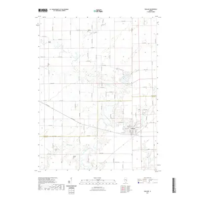
2021 Map of Oakland
USGS Topo · Published 2021About this map
Oakland serves as the primary hub where the Embarras River and Little Embarras River drain the agricultural lands of eastern Illinois. The landscape is defined by a dense network of country roads following the section lines, punctuated by numerous small burial sites that offer a roadmap for local genealogical research. Notable among these are the Old Negro Cem in the north and the Hoagland Historical Cem further south. The town itself is compactly structured along W Lincoln St and Danville Rd, situated near the shoreline of Miller Lake. Smaller tributaries such as Brushey Fork and Greasy Cr wind through the township, carving subtle relief into the terrain and creating the winding property boundaries that deviate from the standard grid.
Find a feature on this map
50 named features on this map. Tap any name to fly to it.
Don’t see what you’re looking for? This feature index may not catch every label — zoom into the map to look around manually.
Map Details
Editions of this 2021 Oakland Map
This is the sole edition of this map. No revisions or reprints were ever made.
Other maps of this area

1936 · Oakland
USGS Topo · 1:48,000

1942 · Oakland
USGS Topo · 1:62,500

1946 · Kansas
USGS Topo · 1:62,500

1949 · Kansas
USGS Topo · 1:62,500

1953 · Indianapolis
USGS Topo · 1:250,000

1956 · Indianapolis
USGS Topo · 1:250,000

1956 · Newman
USGS Topo · 1:62,500

1956 · Villa Grove
USGS Topo · 1:62,500

1957 · Indianapolis
USGS Topo · 1:250,000

1958 · Decatur
USGS Topo · 1:250,000