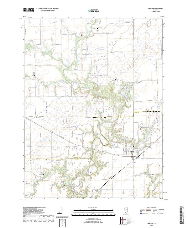
2024 Map of Oakland
USGS Topo · Published 2024About this map
The Embarras River and its major tributaries, Brushy Fork and Deer Creek, define the landscape of the Illinois borderlands between Douglas and Coles counties. The town of Oakland serves as the primary settlement, situated near the confluence of local waterways like Miller Lake and Hog Branch. The area's history is deeply etched into the land through numerous small, family-named burial grounds. Genealogists may find particular value in the locations of the Old Negro Cem, Hoagland Historical Cem, and Van Voorhis Cem. The drainage patterns of Greasy Creek and the Little Embarras River to the south illustrate the agricultural dependence on the river valley's natural irrigation and topography. This survey provides a contemporary perspective on the rural road networks and the enduring presence of historic sites across the eastern Illinois plains.
Find a feature on this map
89 named features on this map. Tap any name to fly to it.
Don’t see what you’re looking for? This feature index may not catch every label — zoom into the map to look around manually.
Map Details
Editions of this 2024 Oakland Map
This is the sole edition of this map. No revisions or reprints were ever made.
Other maps of this area

1936 · Oakland
USGS Topo · 1:48,000

1942 · Oakland
USGS Topo · 1:62,500

1946 · Kansas
USGS Topo · 1:62,500

1949 · Kansas
USGS Topo · 1:62,500

1953 · Indianapolis
USGS Topo · 1:250,000

1956 · Indianapolis
USGS Topo · 1:250,000

1956 · Newman
USGS Topo · 1:62,500

1956 · Villa Grove
USGS Topo · 1:62,500

1957 · Indianapolis
USGS Topo · 1:250,000

1958 · Decatur
USGS Topo · 1:250,000