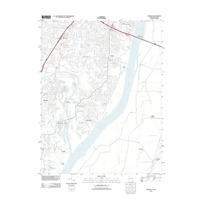
2012 Map of Oakville
USGS Topo · Published 2012About this map
The Mississippi River and Meramec River converge in this riverine landscape, defining a region where suburban development meets complex waterway geography. Residential clusters like Oakville and Mattese sit on the bluffs above the river bottoms, while the historic Jefferson Barracks National Cemetery occupies the northern edge of the sheet. The transportation network is anchored by the Jefferson Barracks Bridge and dual rail lines, the Missouri Pacific RR and Rock Island RR, which follow the contours of the river valleys.
Find a feature on this map
121 named features on this map. Tap any name to fly to it.
Don’t see what you’re looking for? This feature index may not catch every label — zoom into the map to look around manually.
Map Details
Editions of this 2012 Oakville Map
This is the sole edition of this map. No revisions or reprints were ever made.
Other maps of this area

1888 · St. Louis
USGS Topo · 1:62,500

1910 · Waterloo
USGS Topo · 1:62,500

1912 · Kimmswick
USGS Topo · 1:62,500

1913 · Waterloo
USGS Topo · 1:62,500

1916 · Kimmswick
USGS Topo · 1:62,500

1933 · Jefferson Barracks
USGS Topo · 1:24,000

1933 · Cahokia
USGS Topo · 1:24,000

1933 · Kirkwood
USGS Topo · 1:24,000

1934 · Cahokia
USGS Topo · 1:24,000
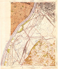
1940 · Cahokia
USGS Topo · 1:24,000