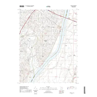
2017 Map of Oakville
USGS Topo · Published 2017About this map
The Mississippi River and Meramec River converge in this riverine corridor, where the suburban development of Oakville meets the fertile lowlands of the American Bottoms. In this 2017 study, the landscape is defined by its transition from the elevated residential neighborhoods in Missouri to the industrial and agricultural floodplains of Illinois. The Missouri Pacific RR tracks parallel the western bank of the Mississippi, serving historic riverfront settlements like Flamm City and Wickes.
Find a feature on this map
83 named features on this map. Tap any name to fly to it.
Don’t see what you’re looking for? This feature index may not catch every label — zoom into the map to look around manually.
Map Details
Editions of this 2017 Oakville Map
This is the sole edition of this map. No revisions or reprints were ever made.
Other maps of this area

1888 · St. Louis
USGS Topo · 1:62,500

1910 · Waterloo
USGS Topo · 1:62,500

1912 · Kimmswick
USGS Topo · 1:62,500

1913 · Waterloo
USGS Topo · 1:62,500

1916 · Kimmswick
USGS Topo · 1:62,500

1933 · Jefferson Barracks
USGS Topo · 1:24,000

1933 · Cahokia
USGS Topo · 1:24,000

1933 · Kirkwood
USGS Topo · 1:24,000

1934 · Cahokia
USGS Topo · 1:24,000
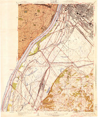
1940 · Cahokia
USGS Topo · 1:24,000