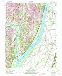
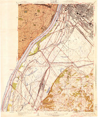
1954 Map of Oakville
USGS Topo · Published 1982About this map
The Mississippi River and Meramec River converge in this mid-century survey of the rugged bluffs and bottomlands south of St. Louis. The landscape is defined by its institutional history, anchored by the sprawling Jefferson Barracks military reservation and the National Cemetery at the northern edge. Deep ravines and limestone features like Cliff Cave line the riverbanks, while small clusters of settlement such as Mattes, Oakville, and Flamm City appear amidst evolving residential development. In the low-lying American Bottoms across the river, a network of drainage sloughs including Long Slash Creek contrasts with the high ground of the Missouri side, where the St Louis-San Francisco railroad tracks follow the river's winding course. This era shows the region before the full suburban expansion of the late 20th century, retaining many rural schools like Washington Sch and Point Sch.
Find a feature on this map
56 named features on this map. Tap any name to fly to it.
Don’t see what you’re looking for? This feature index may not catch every label — zoom into the map to look around manually.
Map Details
Editions of this 1954 Oakville Map
4 editions found
Other maps of this area

1888 · St. Louis
USGS Topo · 1:62,500

1910 · Waterloo
USGS Topo · 1:62,500

1912 · Kimmswick
USGS Topo · 1:62,500

1913 · Waterloo
USGS Topo · 1:62,500

1916 · Kimmswick
USGS Topo · 1:62,500

1933 · Jefferson Barracks
USGS Topo · 1:24,000

1933 · Cahokia
USGS Topo · 1:24,000

1933 · Kirkwood
USGS Topo · 1:24,000

1934 · Cahokia
USGS Topo · 1:24,000
1940 · Cahokia
USGS Topo · 1:24,000