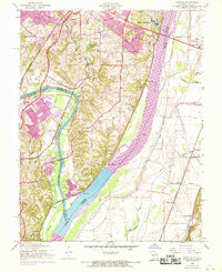
1954 Map of Oakville
USGS Topo · Published 1969About this map
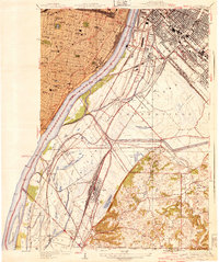
Jefferson Barracks and the massive National Cemetery anchor the northern reaches of this Mississippi River landscape, where the Missouri-Illinois border follows the main channel. The terrain is defined by the confluence of the Meramec River and the Mississippi, creating a network of islands and bottomlands like Chesley Island. To the west, the growth of suburban communities like Oakville and Arnold is evident, connected by established thoroughfares such as Lemay Ferry Road and Telegraph Road.
Find a feature on this map
60 named features on this map. Tap any name to fly to it.
Don’t see what you’re looking for? This feature index may not catch every label — zoom into the map to look around manually.
Map Details
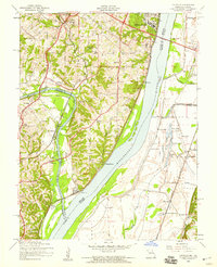
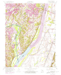
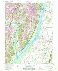
Editions of this 1954 Oakville Map
4 editions found
Other maps of this area

1888 · St. Louis
USGS Topo · 1:62,500

1910 · Waterloo
USGS Topo · 1:62,500

1912 · Kimmswick
USGS Topo · 1:62,500

1913 · Waterloo
USGS Topo · 1:62,500

1916 · Kimmswick
USGS Topo · 1:62,500

1933 · Jefferson Barracks
USGS Topo · 1:24,000

1933 · Cahokia
USGS Topo · 1:24,000

1933 · Kirkwood
USGS Topo · 1:24,000

1934 · Cahokia
USGS Topo · 1:24,000
1940 · Cahokia
USGS Topo · 1:24,000